The race to win the trillion dollars no blinking contest
 Courtesy of Wired
In 2001, a Stanford professor and a couple of his prodigies drove over to meet Larry Page and Sergey Brin for a secret coffee meeting. The co-founders of Google had an idea: what if you could teleport onto any road in the world?
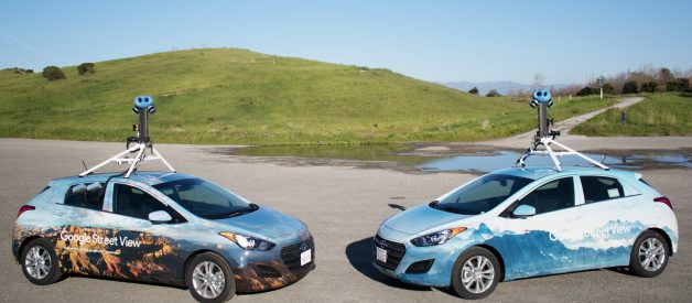
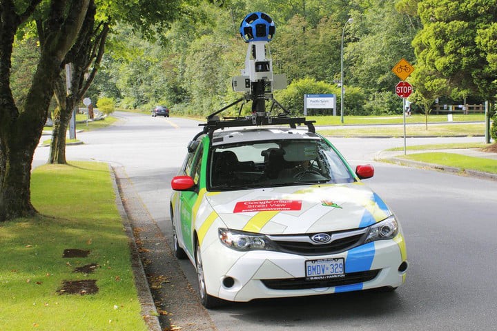
Six years later, Sebastian Thrun and his team of Google Earthers launched Street View, but, for them, looking through a screen wasn?t good enough. They didn?t want to travel to a street thousands of miles away digitally, they wanted to be driven there.
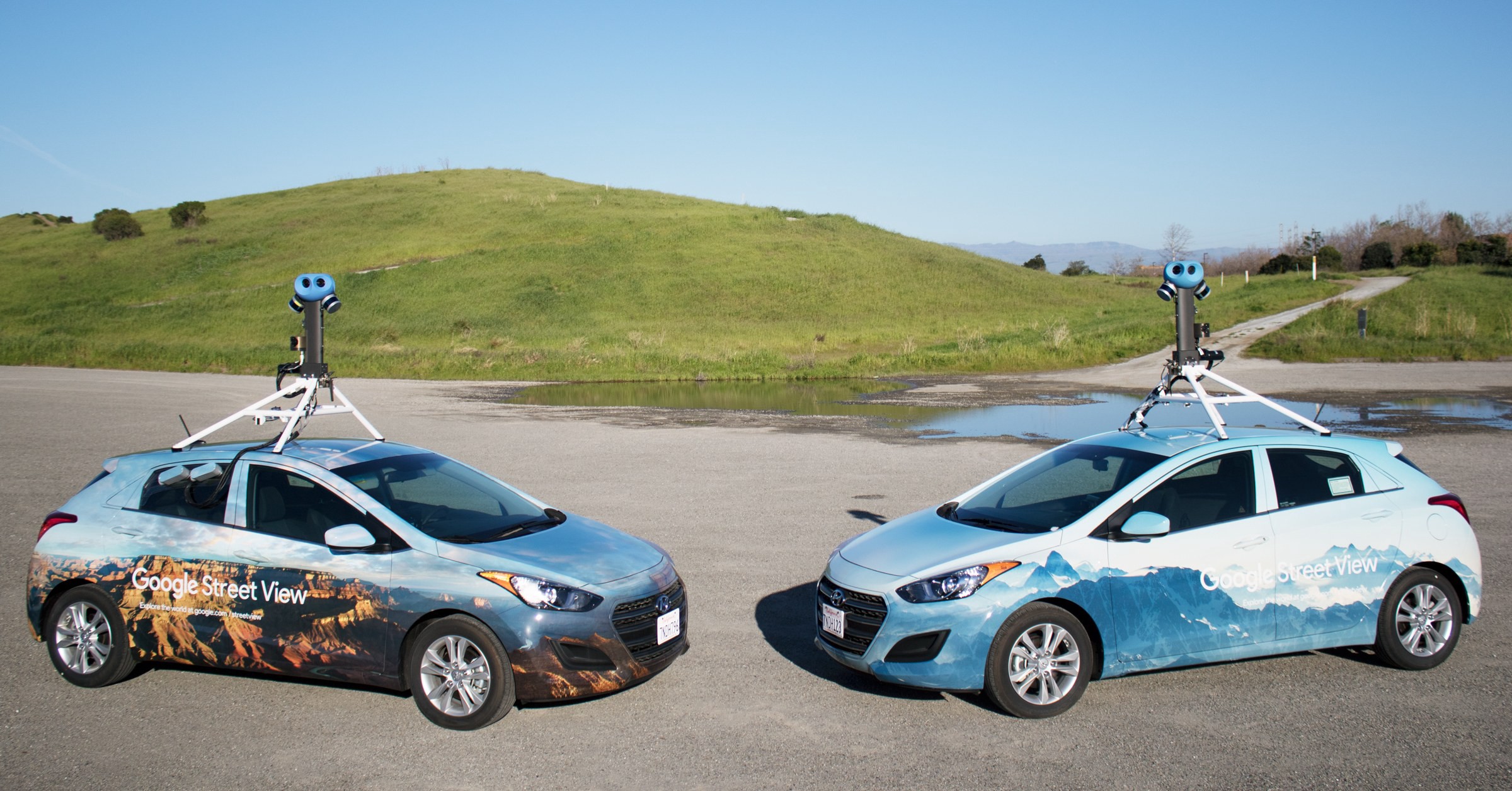
 Courtesy of Waymo
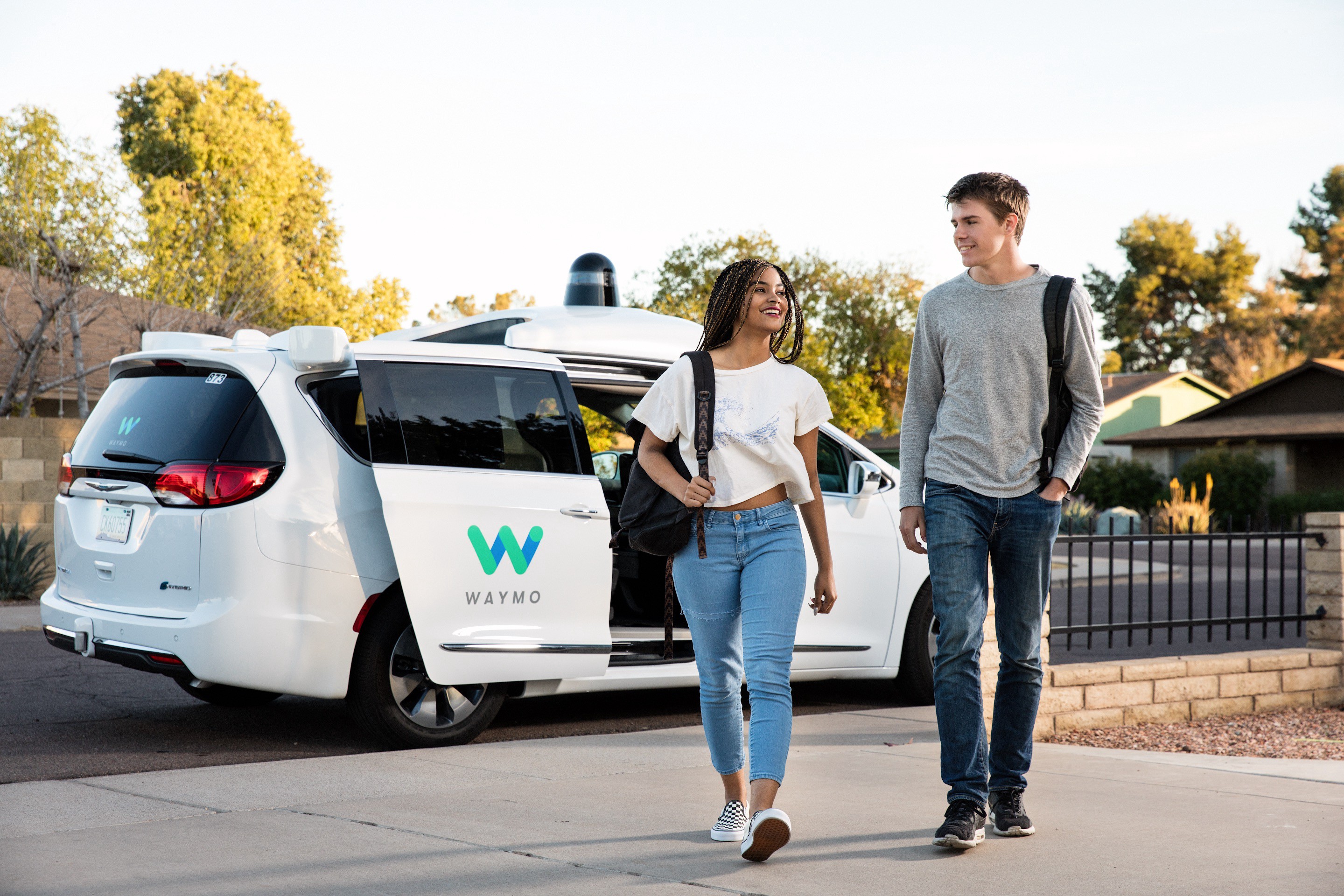
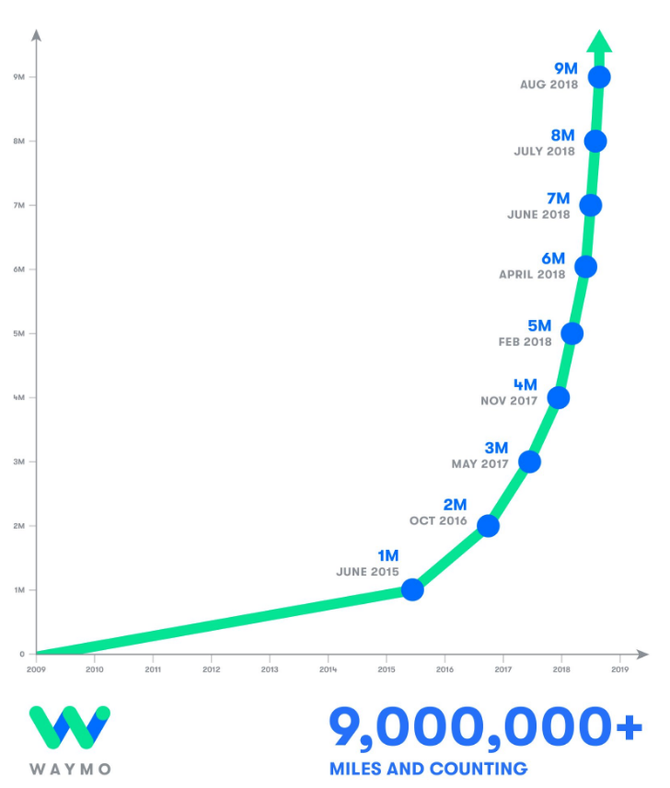
Since then, a full decade has passed and the Google Self-Driving Car Project, now Waymo, is about to allow the public to do just that. After hundreds of thousands of lines of code were written to recognize double yellow lines and pedestrians, millions of miles were driven in real life to perfect their left turns, and billions of miles of ground were covered in simulations, Waymo?s suped-up minivans are ready to drive themselves ? well, at least in Phoenix.
Even with crazily advanced sensors and highly detailed cameras strapped to their autonomous cars, Waymo?s not quite ready to let them ride freely in New York City ? or any other city for the matter. Rain, snow, or even time-aged roads can effectively blind their cars.
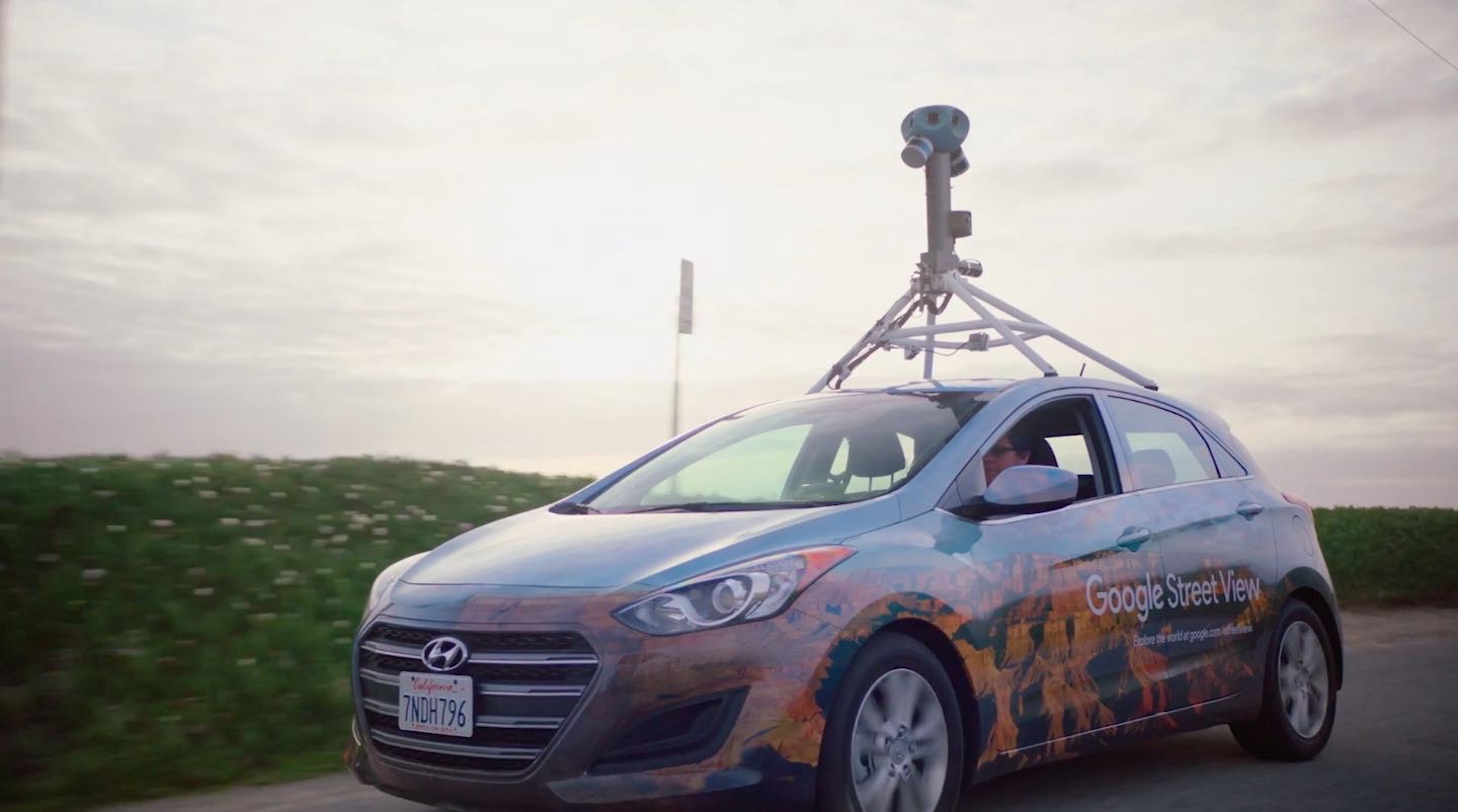 The old (left) makes way for the new (right)
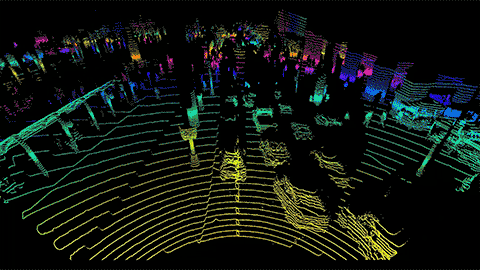
That?s why Street View cars have been completely revamped. They still have cameras, but they?re also fitted with lidar sensors, the eyes of self-driving cars, which create 3D models of the world they?re driving by.
 Courtesy of the New York Times
These ?point clouds? allow a self-driving car to understand not just what objects look like, but where they are and how they?re shaped. Curbsides, orange cones, traffic lights, easy. Pedestrians, cyclists, other vehicles on the road, done.
By having a 3D map of the city they?re driving through in advance, Waymo?s cars can focus less on double yellow lines and crosswalks they already know are there and more on what they don?t ? like pedestrians and cyclists.
Another benefit: Waymo?s cars will be able to drive anywhere, regardless of the weather, as they?ll already know where important road features are and where they can drive. When rolling towards a stop sign covered in snow, a Waymo car will see the red paint just as clearly as a Street View car did when it rolled by and captured it on a sunny day.
However, while you can access Street View 2D maps for free, these 3D maps are a highly valuable, sought after, and private hot commodity. Deepmap, a 3D mapping startup, has raised around $100 million to handle mapping highways with their own LiDAR-toting testing vehicles. Civil Maps, another startup doing the same, has an investor list that includes Ford.

This story is published in The Startup, Medium?s largest entrepreneurship publication followed by + 381,508 people.
Subscribe to receive our top stories here.


